what you need to know
- Google has started pushing a server-side update for Maps, bringing its public transportation routes to Wear OS 3 or later devices.
- Users can search for places and find directions for driving, walking, trains, and more.
- Maps will offer “recommended routes” and all routes, allowing users to decide which route they prefer and the steps they need to take.
Google is starting to roll out a new feature in Maps that will give users hands-free navigation.
According to 9to5Google , the latest update to Google Maps will be rolling out today (March 19) as a server-side update as part of Wear OS version 11.119.0702. Users can now search for places on the watch and find routes for different modes of public transportation. The map will show options for walking, driving, train, and more.
Once ready to navigate, users can choose between the map’s “recommended routes” or all available routes.
Clicking on any button expands the list of ways the user can reach their destination, providing information such as train times. A “Preview Route” option awaits the user in the route’s list of steps, allowing you to see each train station and which train station is yours before choosing.
The publication notes that Google Maps’ new public transportation directions start navigating to “home” or “work” via tiles for Wear OS. Additionally, new public transit routes that exit the map will display a train icon at the bottom of the watch face. Clicking this button will take you back to the app for updates on where you want to go.
Since this is a server-side update, it may take a while for your Wear OS 3 or later device to show the new features.
During MWC 2024, Google briefly highlighted the Wear OS public transportation direction on the map. The company says users can mirror the direction they see on their phone to the Pixel Watch 2 or other Wear OS devices for a hands-free experience. Wear OS’s map update will likely work well with the Android app’s public transit update, which is launching in November.
In the meantime, this is one of several updates to Wear OS we’ve been waiting for since Google detailed the feature drops in March. Original Pixel Watch owners get some Watch 2 features like pace training, heart rate training, and automatic workout mode. The Fitbit Relax app, also present on the first-generation watch, brings guided breathing exercises for healthy breaks.

Apple Watch for Android
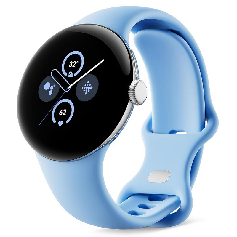
Google’s Pixel Watch 2 takes what consumers enjoyed in the first generation and pushes it even further. The device offers the same recognizable domed glass display but with improved sensors. Google and Fitbit have redesigned their heart rate sensors to provide a more accurate picture of your heart health during workouts and more.
